Thank you to the State of Louisiana and the LSU Center for Computation & Technology for making significant contributions to support storm surge modelling and real-time operations. We are proud to be named as one of LSU’s most in-demand tools to protect coastal communities from flooding. 🌀
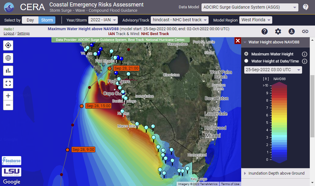
Hurricane IAN was a destructive category 4 hurricane that caused severe damage across the states of Florida and South Carolina.
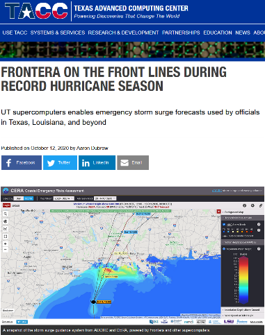
The CERA Group delivered ongoing forecast results to 90,000 users over the entire course of the storm. The ADCIRC Surge Guidance System Team, the LSU Center for Computation and Technology (CCT) and High Performance Centers in TX and LA were key partners for our success to provide uninterrupted storm surge modeling and visualization guidance.
The Texas Advanced Computing Center published a Q&A, covering the role of the Coastal Emergency Risks Assessment (CERA) Storm Surge and Flood Web Mapping Visualization Tool and its importance during hurricane IAN.
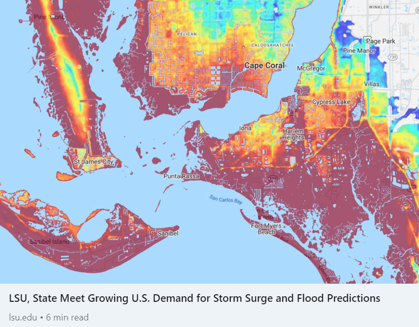
Maximum storm surge and inland flooding as displayed on the Coastal Emergency Risks Assessment (CERA) website for hurricane IAN (Sep/Oct 2022). Data source: ADCIRC Surge Guidance System (ASGS).
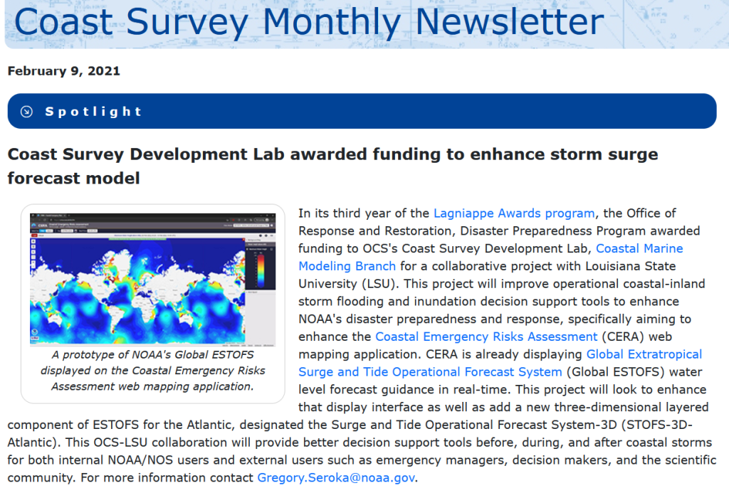
In January 2022, the NOAA Coast Survey Development Lab (CSDL) was awarded funding to improve storm surge modeling to further enhance NOAA’s disaster preparedness and response. The Louisiana State University (LSU) Coastal Emergency Risks Assessment (CERA) web mapping application is an integral part of this collaborative project to deliver storm surge and inland flooding model results to the public and the modeling community.
The award was published in the February edition of NOAA’s Coast Survey Newsletter:
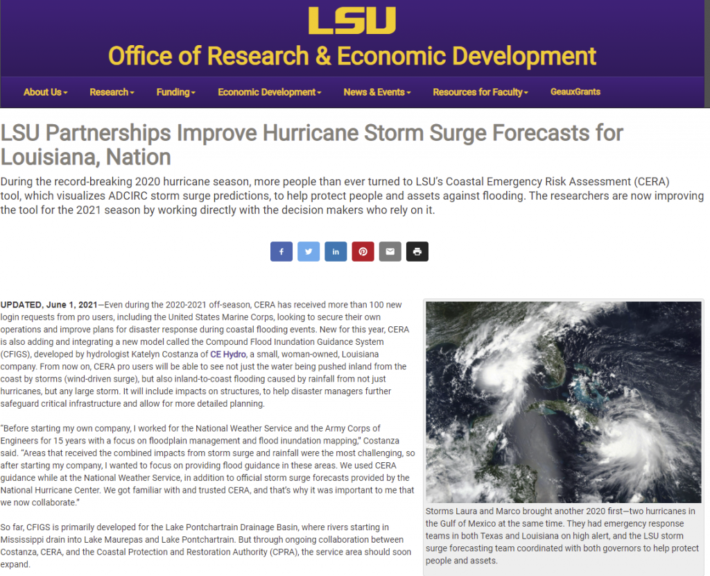
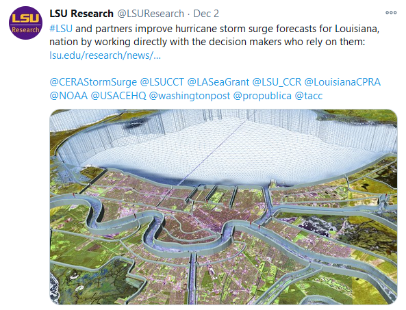
The LSU Office of Research and Development (ORED) recently published an online article about the partnership between LSU and CERA, which can be found here:
The LSU Coastal Emergency Risks Assessment (CERA) visualization tool was recently listed by The Coastal Protection and Restoration Authority as one of their frequently used sites in a CPRA Board Meeting presentation.
CPRA LA uses CERA as an emergency assessment tool to view the impacts of modeled storm surge for hurricanes and tropical events delivered by the ADCIRC Surge Guidance System (ASGS). The ASGS was developed by Seahorse Coastal Consulting, a long-term partner of CERA.
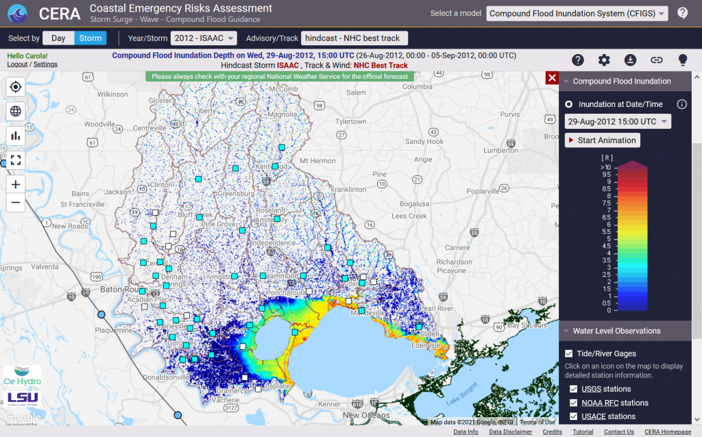
Additionally, compound flooding guidance will become operational to CPRA for the upcoming 2021 hurricane season through the Compound Flood Inundation Guidance System (CFIGS) developed by CE Hydro. The CFIGS model will capture combined influences of storm surge and precipitation for watersheds in Louisiana that are of particular interest to CPRA for emergency response tasks. The CFIGS model results will be presented on the CERA interface through inundation animations (depth of water above ground) and hydrographs for water level comparison to model prediction (50 stations from USGS, USACE, and NWS).
One lesson learned from the 2020 hurricane season was that it is difficult to identify the areas of highest risk based solely on inundation mapping. CFIGS will therefore also introduce a new flood hazard layer to quickly identify areas during an event with a high risk of structural flooding.
The NSF funded Science Gateways Community Institute (SGCI) mentions CERA in their website news section, speaking of its role and functionality as well as CERA’s participation in SGCI’s bootcamp.