Ida (August 26 – 31, 2021) made landfall as a strong category 4 hurricane near Port Fourchon, LA on August 29. The impacts of Ida are far-reaching across Southeastern Louisiana and beyond. Over a million customers in the region were without power, and for some, restoration is estimated to take weeks or longer. The greater New Orleans area was left completely in the dark, leaving officials scrambling to determine the best path to bring the city and surrounding areas back up. The devastation caused in the coastal areas like Grand Isle, where 100% of structures are reported to have sustained damage, will take years to rebuild. Intense flooding in the River Parishes left homes and businesses destroyed.
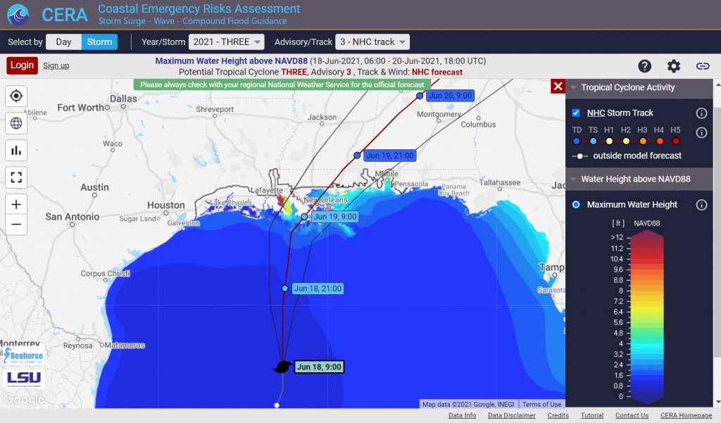
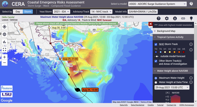
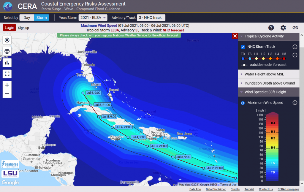
The CERA Group at the LSU Center for Computation and Technology successfully performed storm surge and flood guidance to end users in Louisiana. Several model results were available on the CERA website at https://cera.coastalrisk.live.
Success Highlights
- CERA delivered visualizations for storm surge model runs from the ADCIRC Surge Guidance System (ASGS) for the NHC official forecast, veer left and veer right scenarios and an increase in overland speed from advisory #6 through #18.
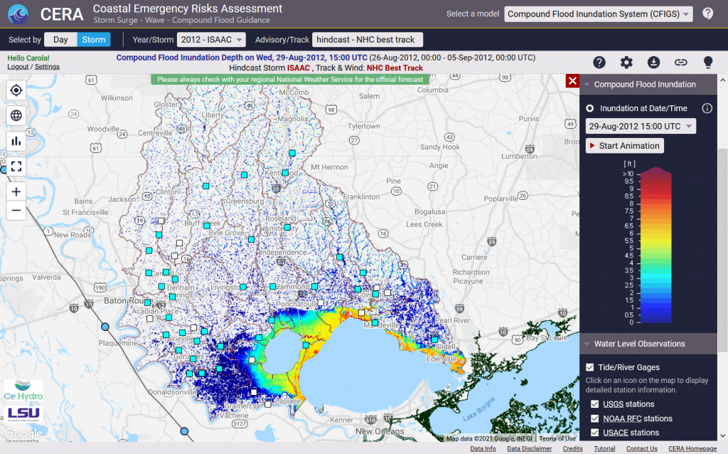
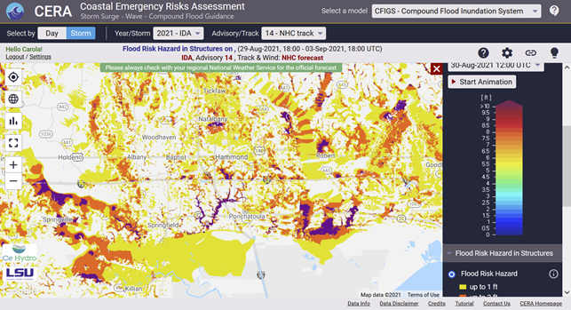
- CERA maps from the Compound Flood Inundation Guidance System (CFIGS) were delivered for special advisories. This was the first time that CFIGS went operational for a storm event to provide results in real-time.
- CERA got more than 20,000 page views from the public website and 9,000 page views from users with a login during the storm. 350 subscribed users were active on the site during the storm.
- CERA/ASGS/CFIGS results were used by the Coastal Protection and Restoration Authority (CPRA) to brief the Louisiana Governor.
- CERA received numerous new login requests from high-ranking agencies and organizations, including the Louisiana Governor’s Office of Homeland Security and Emergency Preparedness (GOHSEP).
- CERA provided GeoTiff imagery for the inundation impacts that were used by the DHS HAZUS Group for damage assessment, among others.


 Gage stations for the