We are delighted to introduce our latest CERA enhancement that provides 558 global water level points from the NOAA Extratropical Surge and Tide Operational Forecast System (ESTOFS) system on a daily basis.
About ESTOFS:
The NOAA/NOS/Coast Survey Development Lab and the NOAA National Centers for Environmental Prediction (NCEP) produce storm surge guidance for extratropical systems through their Extratropical Surge and Tide Operational Forecast System (ESTOFS) four times daily out to 7.5 days. The ESTOFS model uses the storm surge model ADCIRC forced by real time output of atmospheric pressure, winds, and sea ice from the NCEP Global Forecast System (GFS) and is run on NOAA’s WCOSS super computing system to produce numerical outputs. The global unstructured grid consists of 8 million nodes with a coastal grid resolution of up to 80 m for Hawaii and the US West Coast, and up to 120 m for the US East Coast, Puerto Rico, Micronesia, and Alaska.
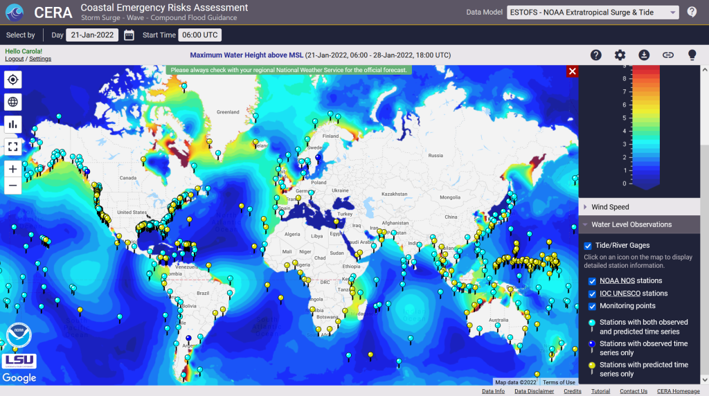
The Coastal Emergency Risks Assessment (CERA) visualization tool provides ESTOFS results on its interactive visualization website (https://cera.coastalrisk.live) once daily, including global water level heights and wind speed results. The newly added ESTOFS water level stations combine predicted forecast water levels from the model with observed water levels from the NOAA Tide & Currents service and the Intergovernmental Oceanographic Commission (IOC) Sea Level Station Monitoring Facility.
In addition to this new feature, we made major updates to all water level stations along the US coast, including services from NOAA, USGS, and the USACE.