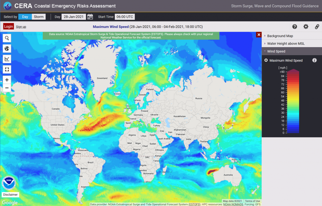
We have been working with the NOAA Coast Survey Group to retrieve the ESTOFS-Global maximum wind levels from their cloud service and are happy to announce that the GFS forced wind maps are now available on the CERA web mapping tool.
By default, opening CERA (https://cera.coastalrisk.live) displays the ESTOFS maximum water height layer. If you wish to view the wind layer, please select the wind speed tab in the map legend.